
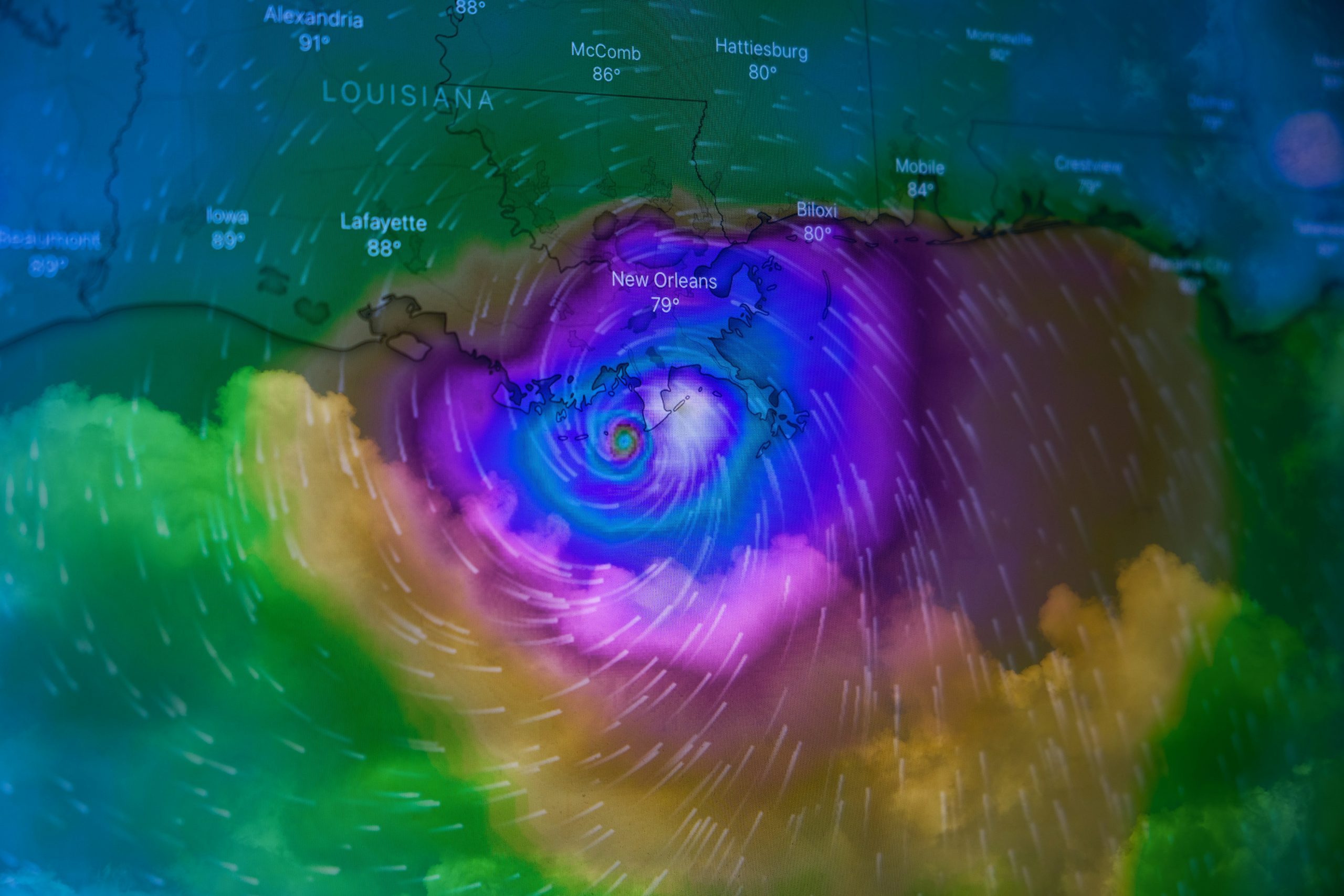
Hurricane Erin, the first major storm of the 2025 Atlantic hurricane season, has explosively strengthened into a Category 4 hurricane, threatening the US East Coast with dangerous storm surge and rip currents.
While not expected to make direct landfall, the hurricane’s outer rain bands have already unleashed torrential downpours across the southeastern Bahamas and Turks & Caicos Islands, where tropical storm warnings remain in effect.
The National Hurricane Center (NHC) reports rainfall totals could reach 6 inches (15.2 cm) in these regions, with Puerto Rico already recording 82mm of rain in 24 hours and 150,000 residents temporarily losing power due to damaging winds.
“Volatile and Dangerous” Storm Path Puts Eastern Seaboard on Alert
The NHC has forecasted that Hurricane Erin’s core will pass east of the Bahamas before tracking between Bermuda and the US coastline by midweek, maintaining its “large and dangerous” intensity.
BBC Weather’s Helen Willetts warns the storm brings multiple threats: “Flash flooding, coastal flooding from storm surge, wind damage and dangerous rip currents will impact areas well beyond the direct path.” Emergency preparations are underway along the Outer Banks, where officials have ordered mandatory evacuations for Hatteras Island amid concerns the sole access highway may become impassable.
The NHC is also stressing that Erin’s expansive wind field means hazardous conditions will develop far from the eye, particularly along the Carolinas’ Outer Banks where wave heights could exceed 20 feet.
Hurricane Erin’s dramatic strengthening from tropical storm to Category 5 (before settling at Category 4) within 48 hours exemplifies the “rapid intensification” phenomenon becoming more common due to warmer Atlantic waters. This marks the third consecutive year with an early-season major hurricane, aligning with predictions of an above-average 2025 Atlantic hurricane season. Researchers note such storms are now 25% more likely to intensify quickly compared to pre-2000 averages.
There are predictions that Erin will maintain hurricane strength for at least five more days. Meanwhile, residents are urged to monitor local forecasts, as small track changes could significantly alter impacts. With climate change increasing hurricane rainfall rates by 10-15%, even areas far inland could face flood threats from Erin’s remnants later this week.